

Falsified Project Coordinates Raise Questions Over Flood Control Verification
Senate investigators allege inaccurate GPS coordinates were submitted for thousands of flood control projects, undermining the geotagging system meant to verify they were actually built.

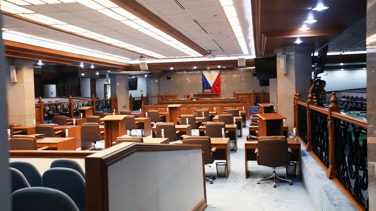
Senate President Pro-Tempore Panfilo "Ping" Lacson, chairing the Blue Ribbon Committee probe into flood control spending, has alleged that former DPWH Secretary Manuel Bonoan submitted incorrect grid coordinates for thousands of flood control projects submitted to Malacañang for validation.
Geotagging — recording a project’s exact GPS location alongside photos and progress reports — is meant to let auditors confirm a funded project was actually built where it was reported. Lacson said the coordinate errors he identified were "grossly inaccurate," undermining that verification process for an unknown number of projects.
Bonoan has disputed the characterization of the discrepancy, according to reporting on the hearing, though the exact explanation for the inaccurate coordinates remains part of the ongoing Senate inquiry.
The episode has prompted calls from some lawmakers for an independent, third-party geotagging verification system for future public works projects, rather than relying solely on agency-submitted data.
Related Stories
 Technology
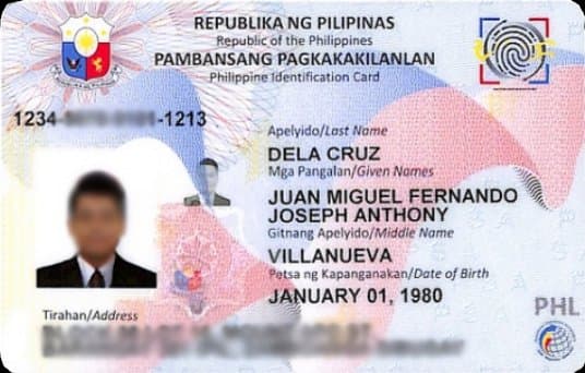
Government Rolls Out Digital ID Expansion in Key Cities
The national ID system expands registration capacity as more Filipinos gain access to digital government services.